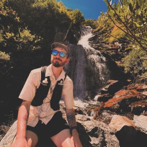
I’ve now fully come to terms with the fact that I won’t be catching up on my blog posts from the past few weeks. A lot has happened, for sure, but I simply don’t have the time, energy, or even the battery power to share all of these stories. I’ll continue writing what I can and sharing some of the best (and worst) moments on trail, but don’t expect anymore play-by-play style posts. For the sake of time in putting together this post, I’ll simply share some pictures and brief commentary. I’m only in town about once every 6 or 7 days now, and I mostly use that time to shop, eat, and plan. As much as I’d like to share every little detail of my hike with friends and family, it’s simply not feasible for me anymore.
The End of the Desert
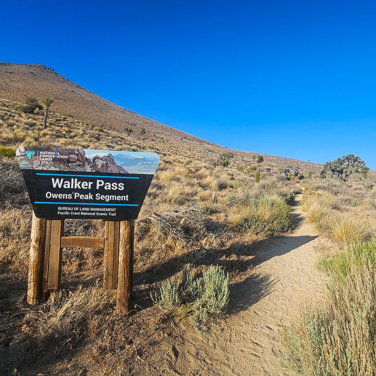
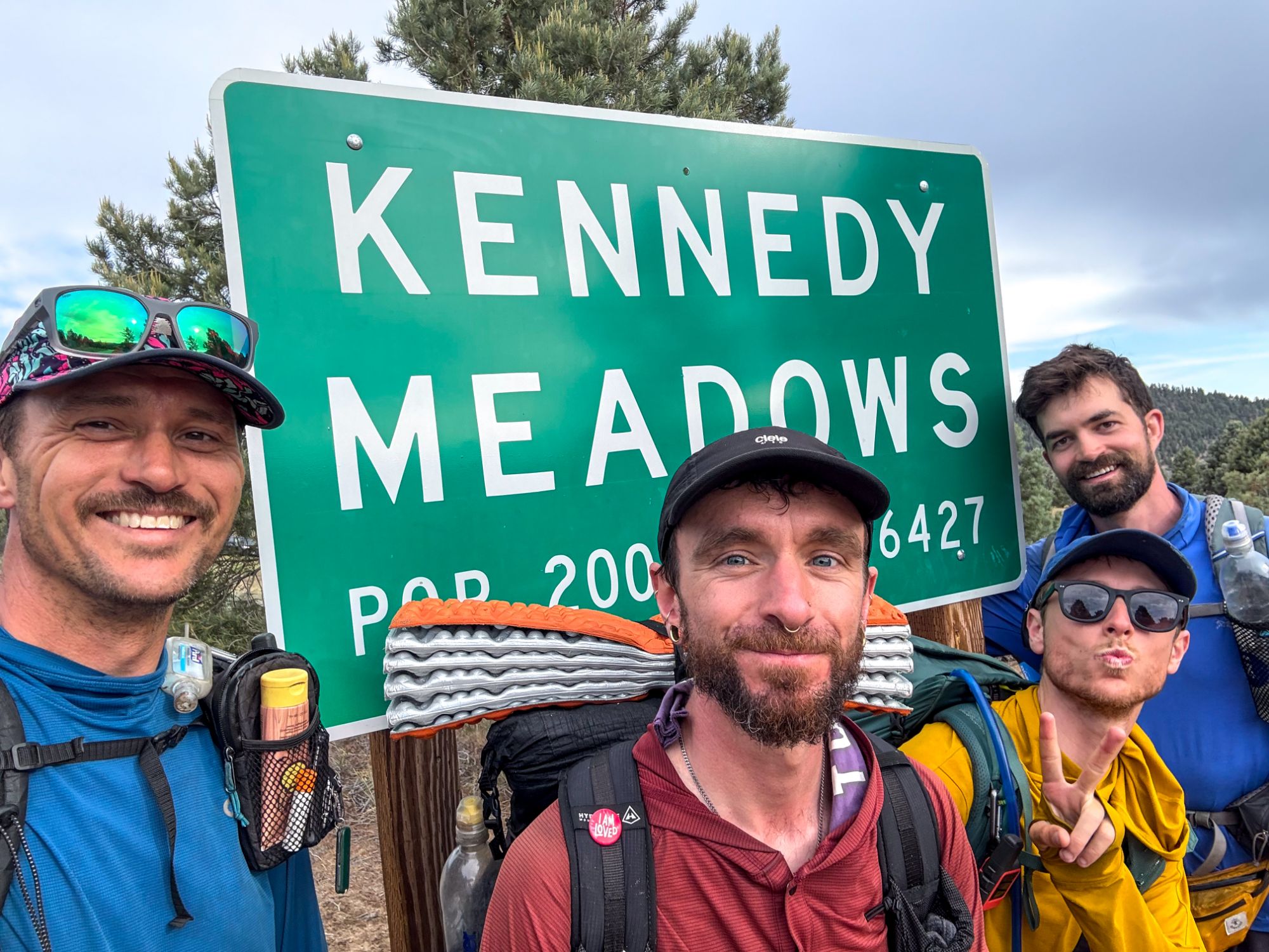
Week 6 was my final week in the Desert/SoCal section of the PCT. I hiked from Mojave, CA to Kennedy Meadows, CA, wrapping up the first 703 miles of trail.

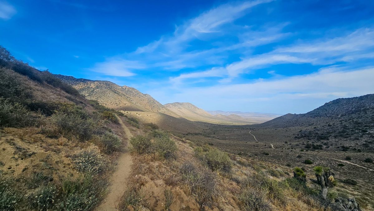

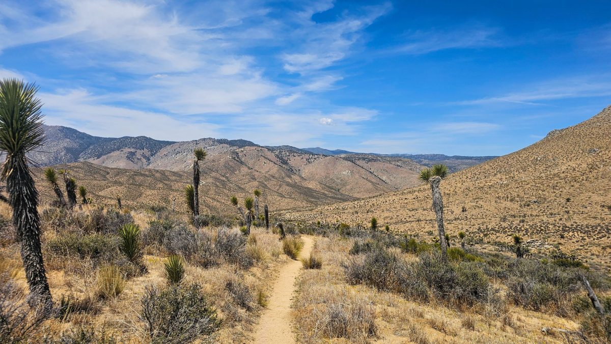

This final week in the desert was quite possibly the most strenuous week on trail to date. With tough climbs, record-high temperatures, and the longest water-carries yet, this final 137 miles of desert was exhausting.
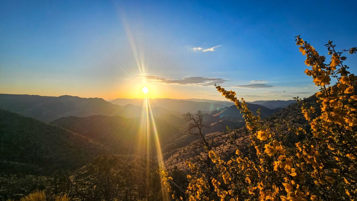

After leaving Mojave, the trail climbed up into some high desert forest and I thought “wow, this must be where we start to see the desert transition into more Sierra-like terrain.” I was so wrong. After a brief 1.5 days of tree cover, I was dropped right back into scorching hot desert. The only respite from the sun were small patches of shade under Joshua Trees. I learned to take advantage of this shade whenever possible and committed myself to taking at least an hour-long siesta every day to escape from the heat and to give my feet a good break from the constant climbing and descending.
The Long Awaited Sierra
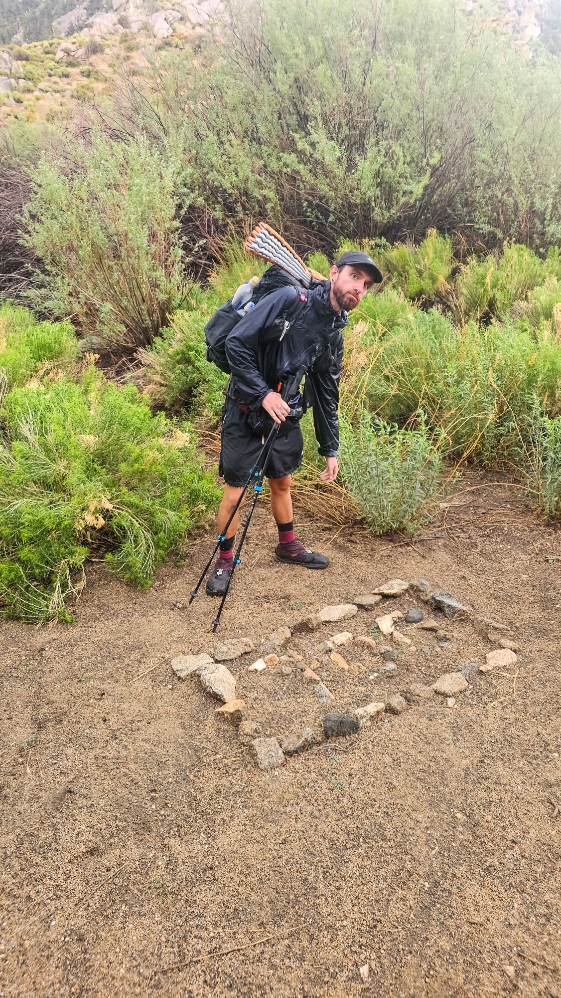
On June 1st, hours after catching my first glimpse of the distant snow-capped peaks of the High Sierra, I was welcomed back into the mountains by an afternoon thunderstorm that quickly escalated into one of the scariest hailstorms that I’ve ever experienced. After getting completely drenched, I learned an important lesson that day about rain protection, and promptly bought a more suitable (albeit slightly less ultralight) rain jacket.


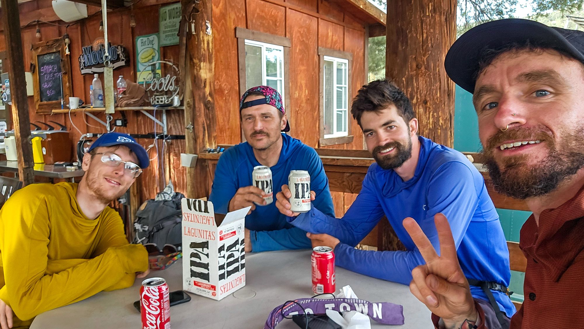
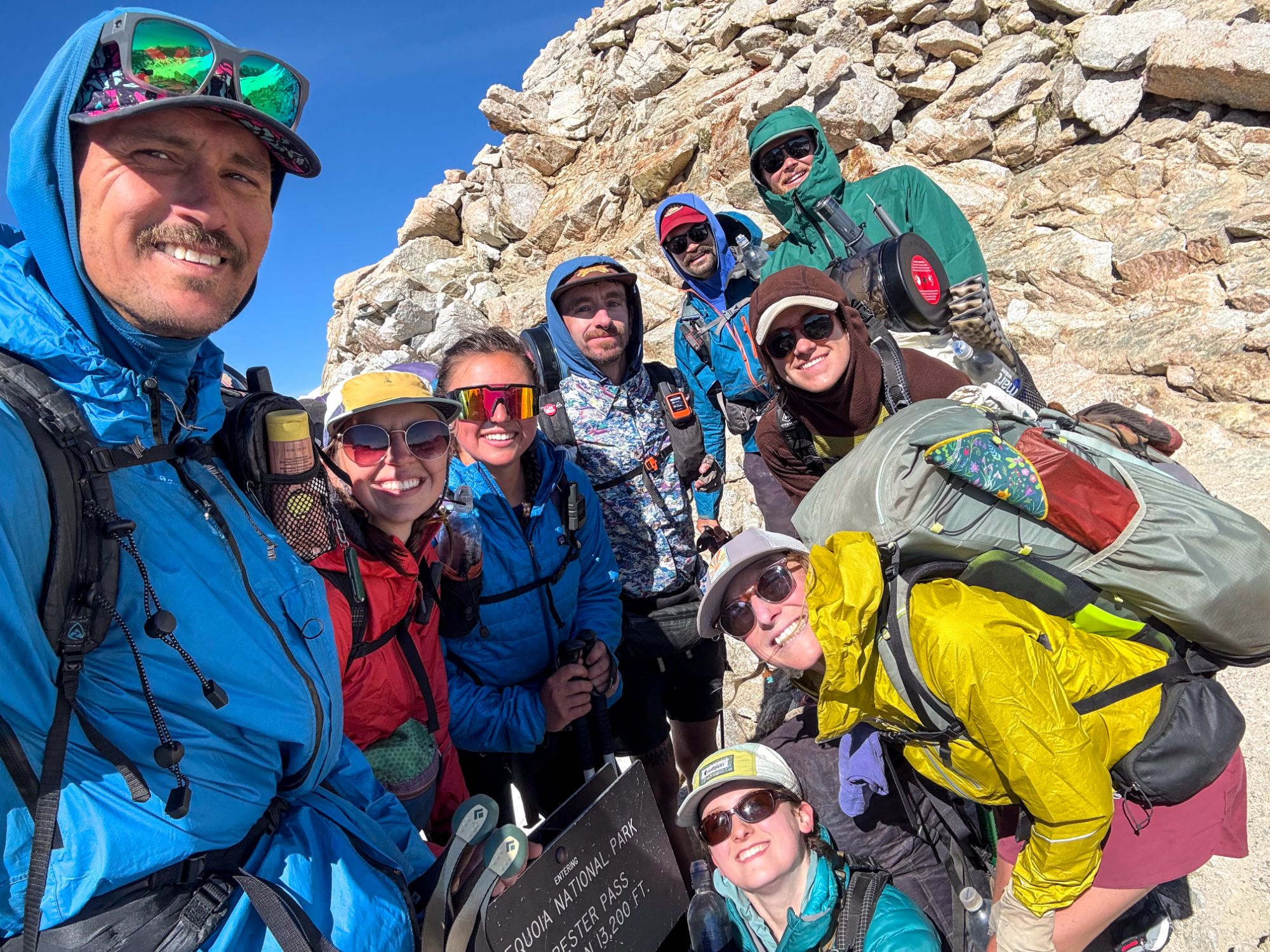
Upon arriving at the Kennedy Meadows General Store, we were greeted by great applause and a ringing bell – a famed tradition, celebrating a hiker’s success in finishing the first major section of the PCT. We used the next 3 days to calorie load and prepare our packs for the Sierra (now outfitted with bear cans and snow-travel gear like microspikes and ice axes).


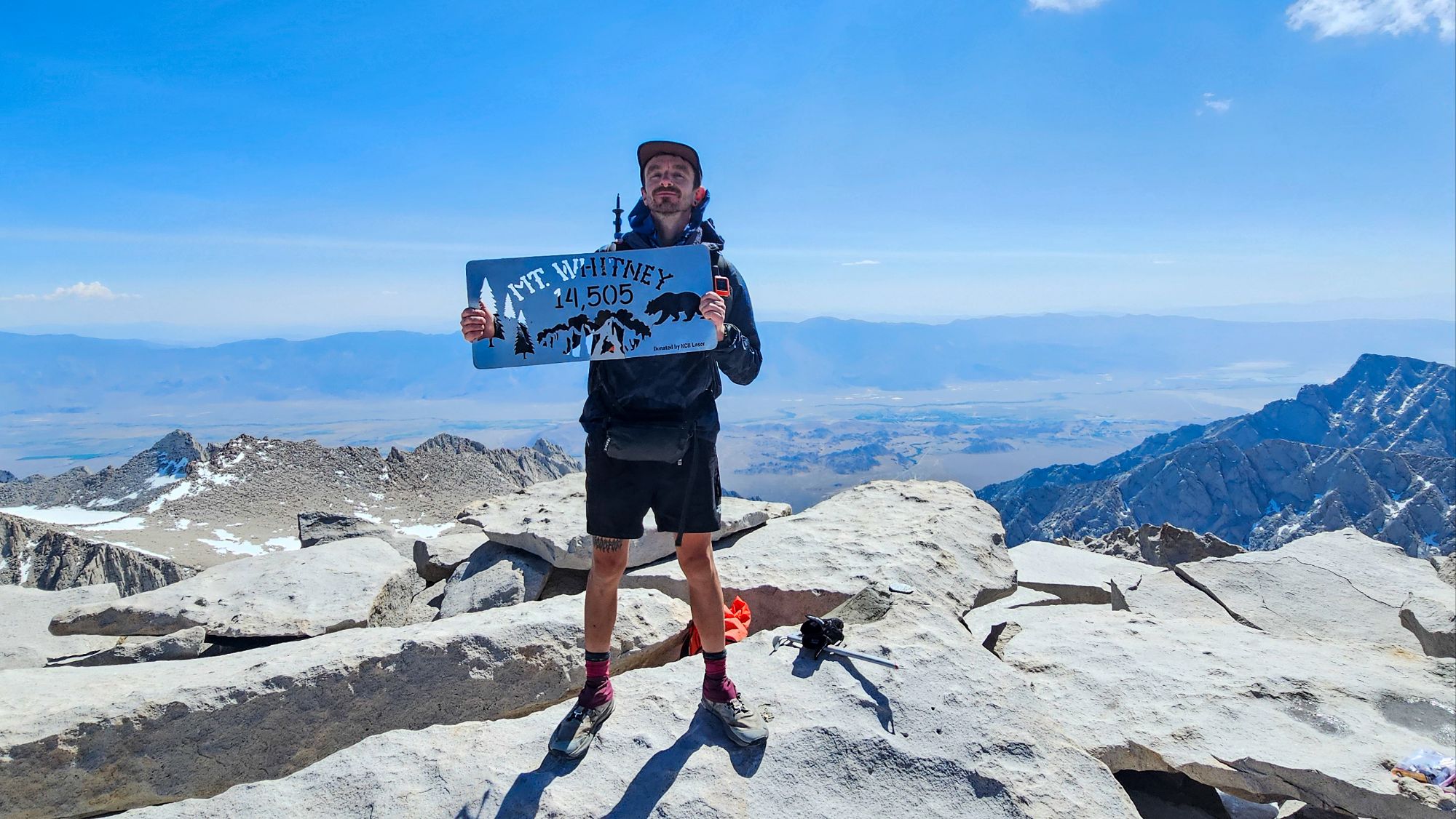
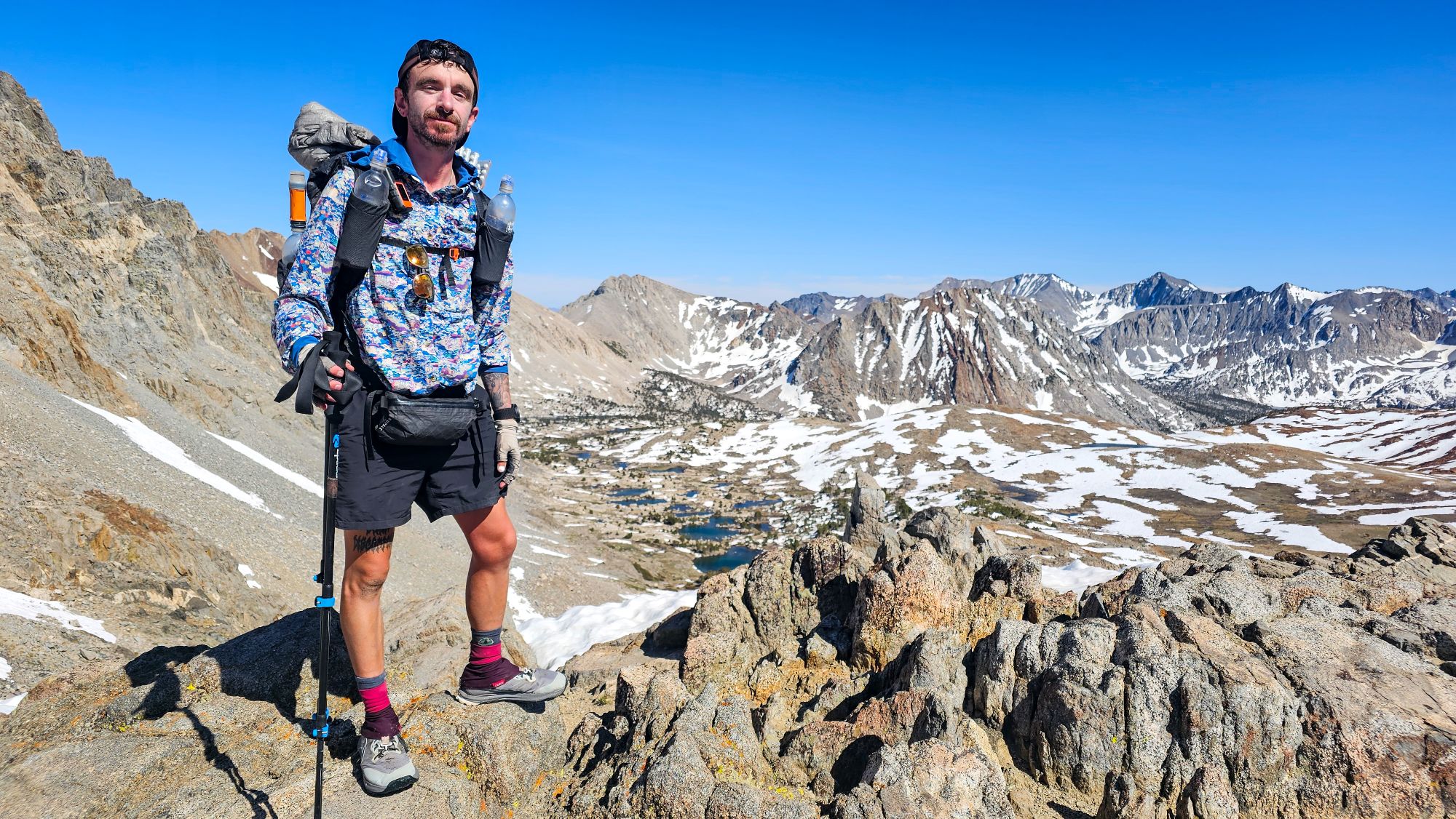
Mt Whitney
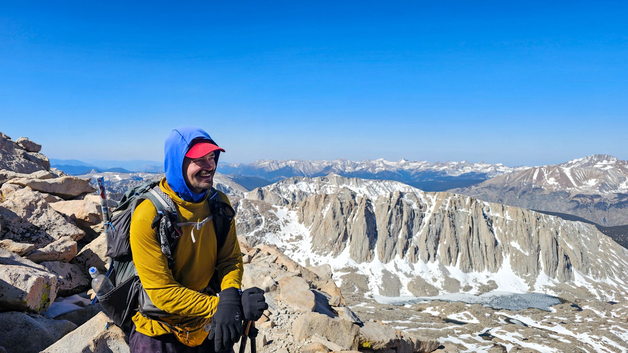
On my 50th day on the PCT, I summited Mt. Whitney for the second time. At 14,505ft, Mt Whitney is the highest peak in the lower 48 states. Most PCT hikers choose to tackle this summit by waking up around 1am, so they can reach the top by sunrise. I, however, chose to summit it mid-morning, as I’m not a huge fan of hiking on zero sleep. Justin and I woke up around 4am and hit the trail by 5am. After a little bit of scrambling and some limited snow travel, we reached the summit around 9:30am and enjoyed some amazing panoramic views of both the Sierra to the west and Owen’s Valley to the east.


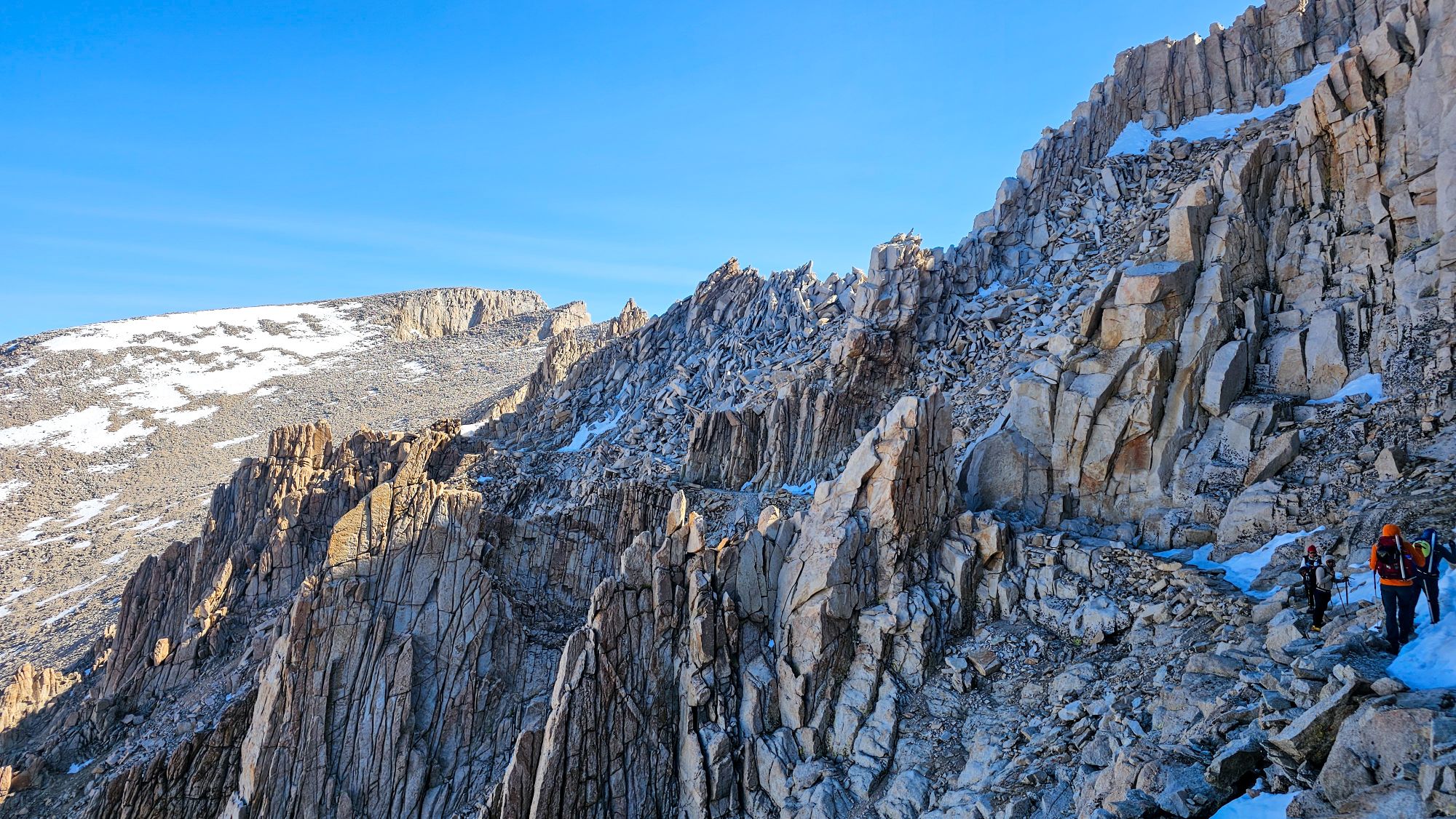
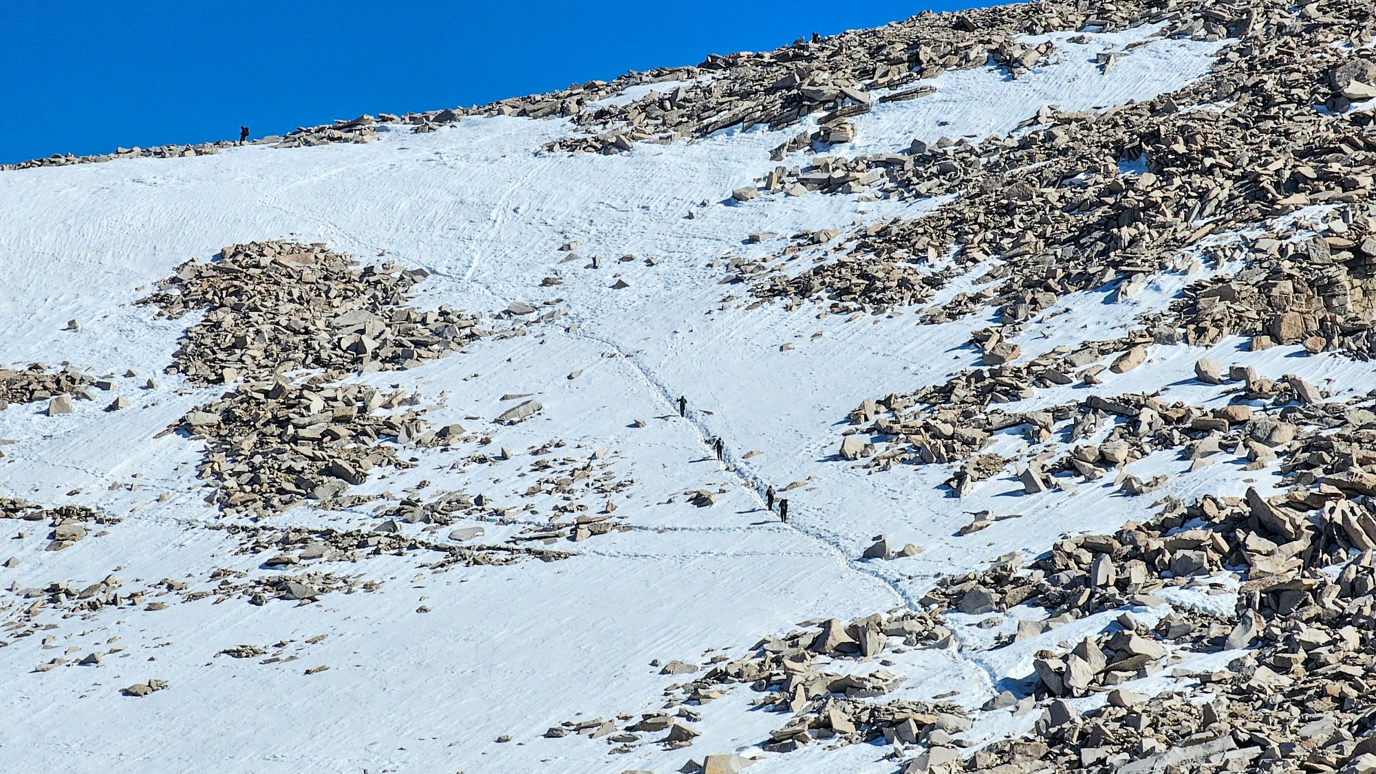
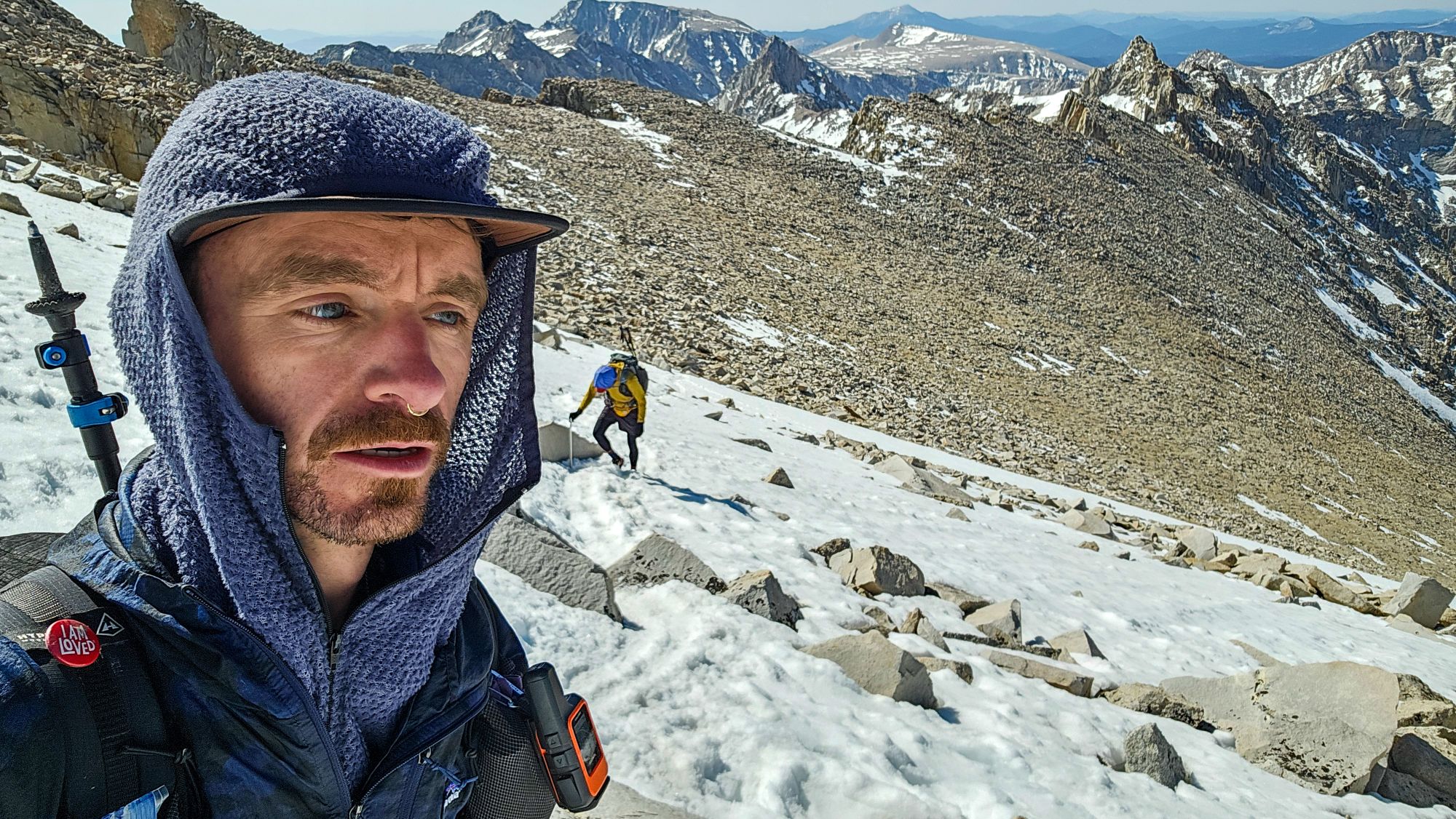


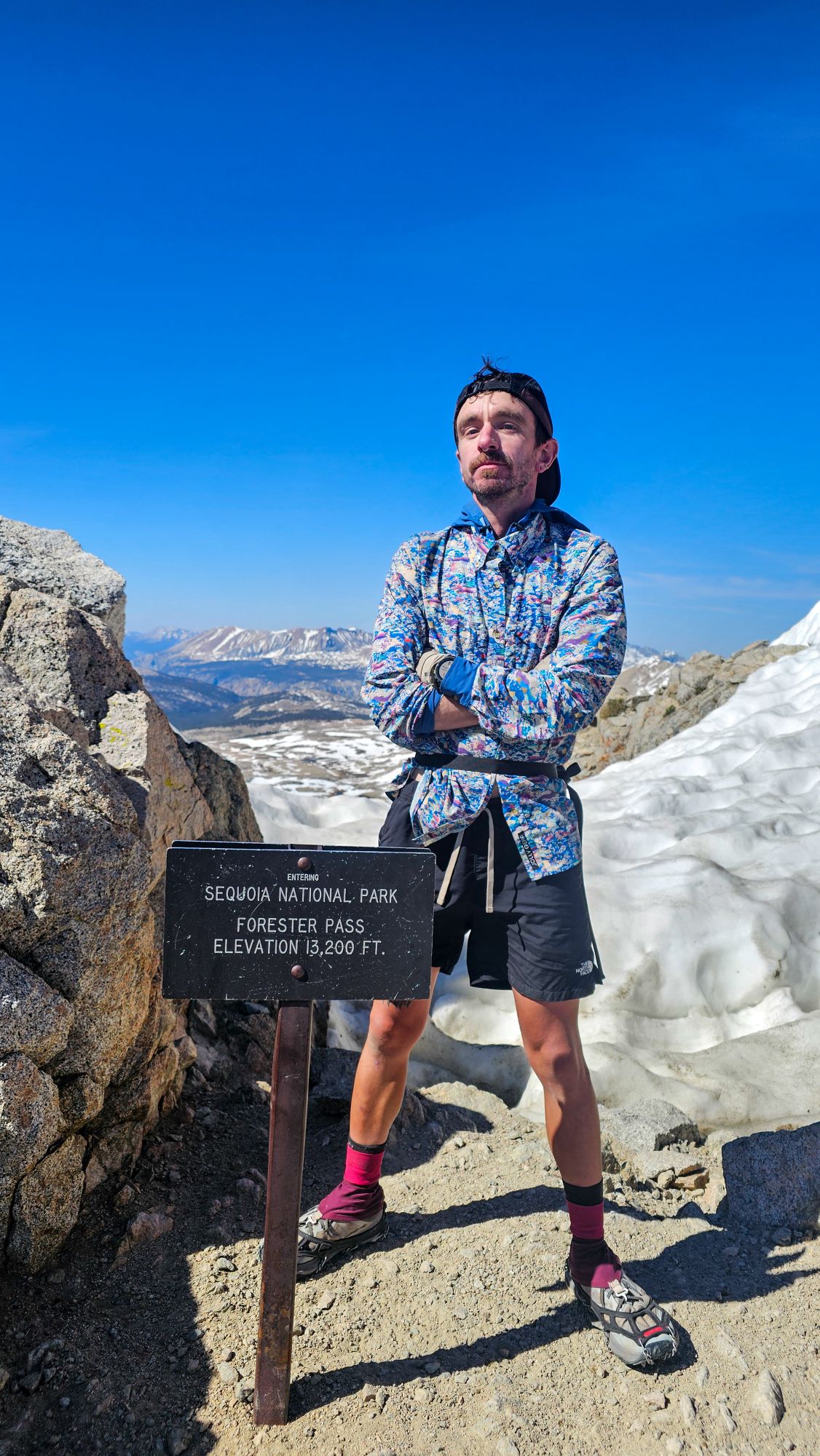
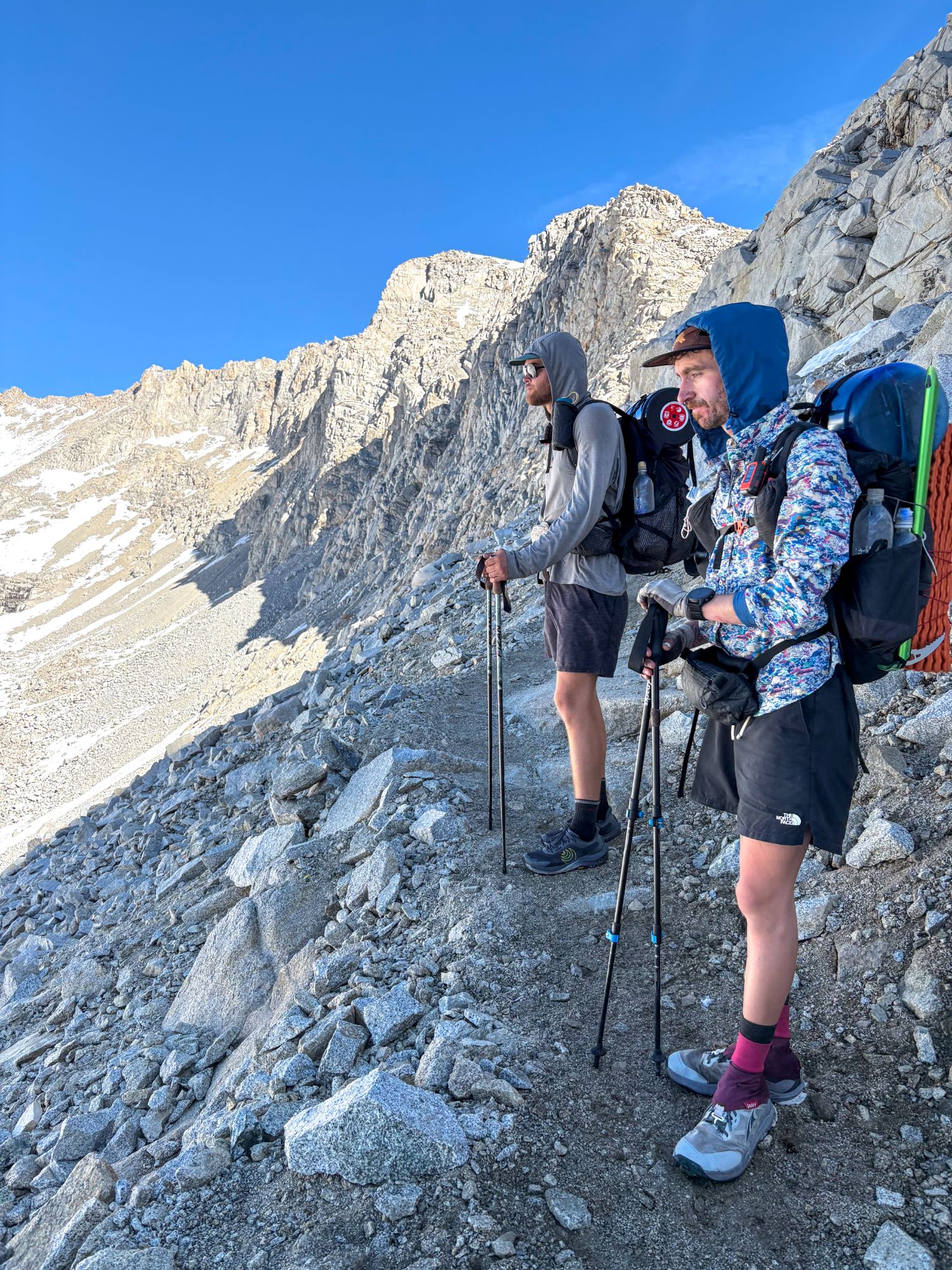
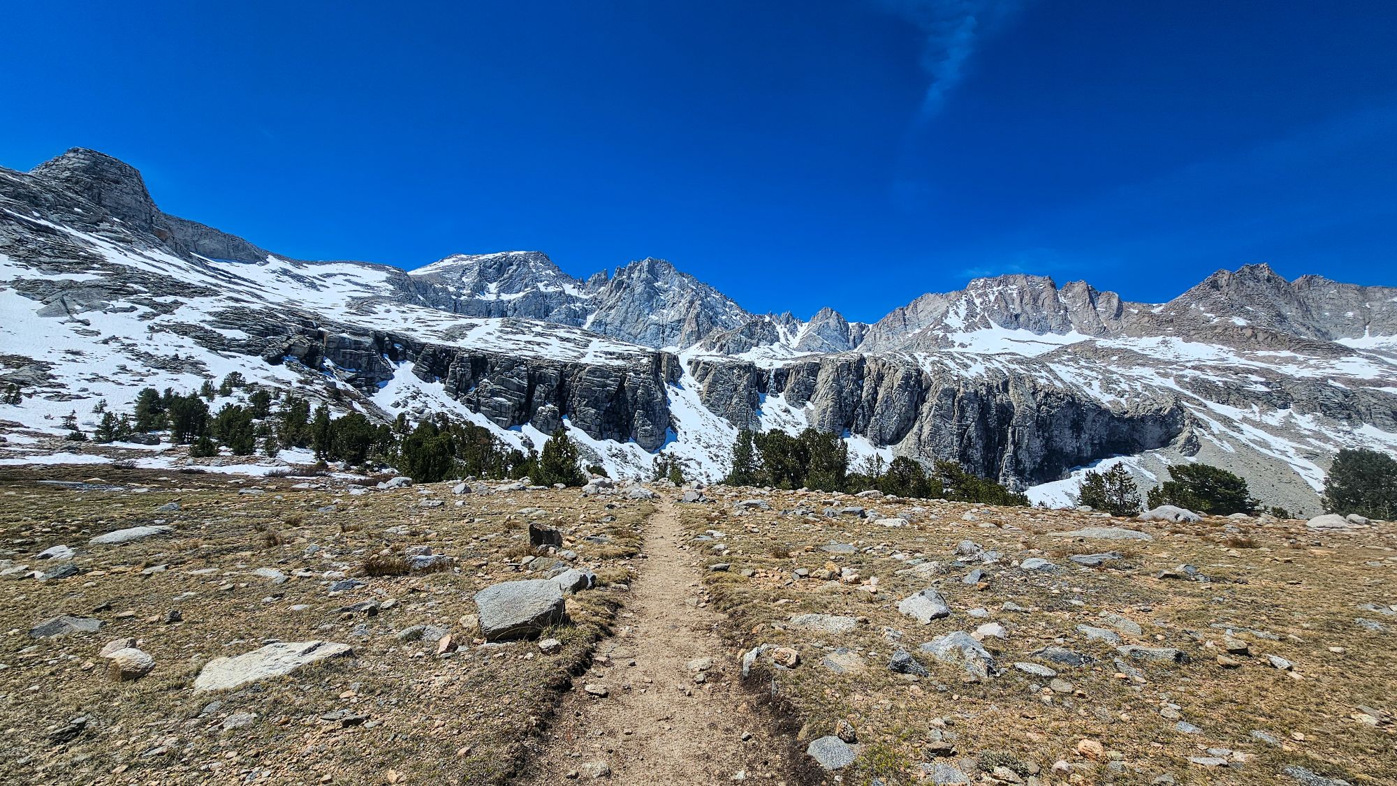
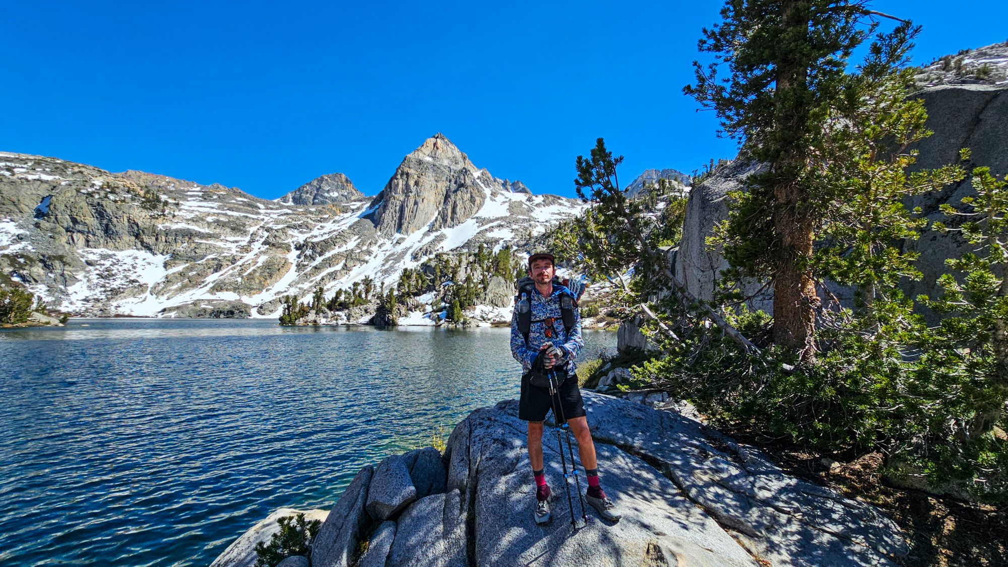
The High Passes
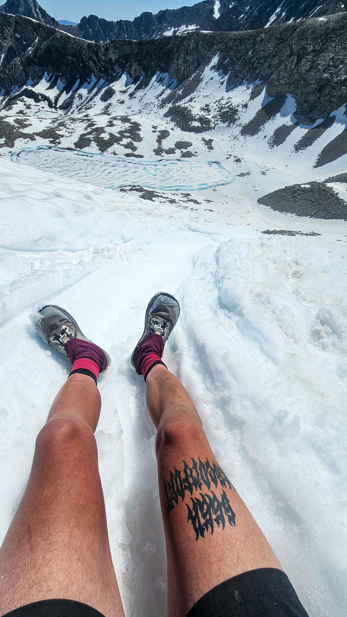
The Sierra section of the PCT is renowned for its high passes. Of these high passes, there are five that hold considerable snow. That being said, it’s typically recommended that early season hikers try get up and over these passes in the early morning, while the snow is still firm. I was able to get early morning starts for a few of the passes, but I ended up climbing a few of them mid day as well. Fortunately, I do feel very confident with my snow travel skills from having tackled these same passes under the same conditions while hiking the JMT in 2023. I was even able to take full advantage of ice axe on a few to “glissade” down (sliding down a steep snow slope on your butt.)


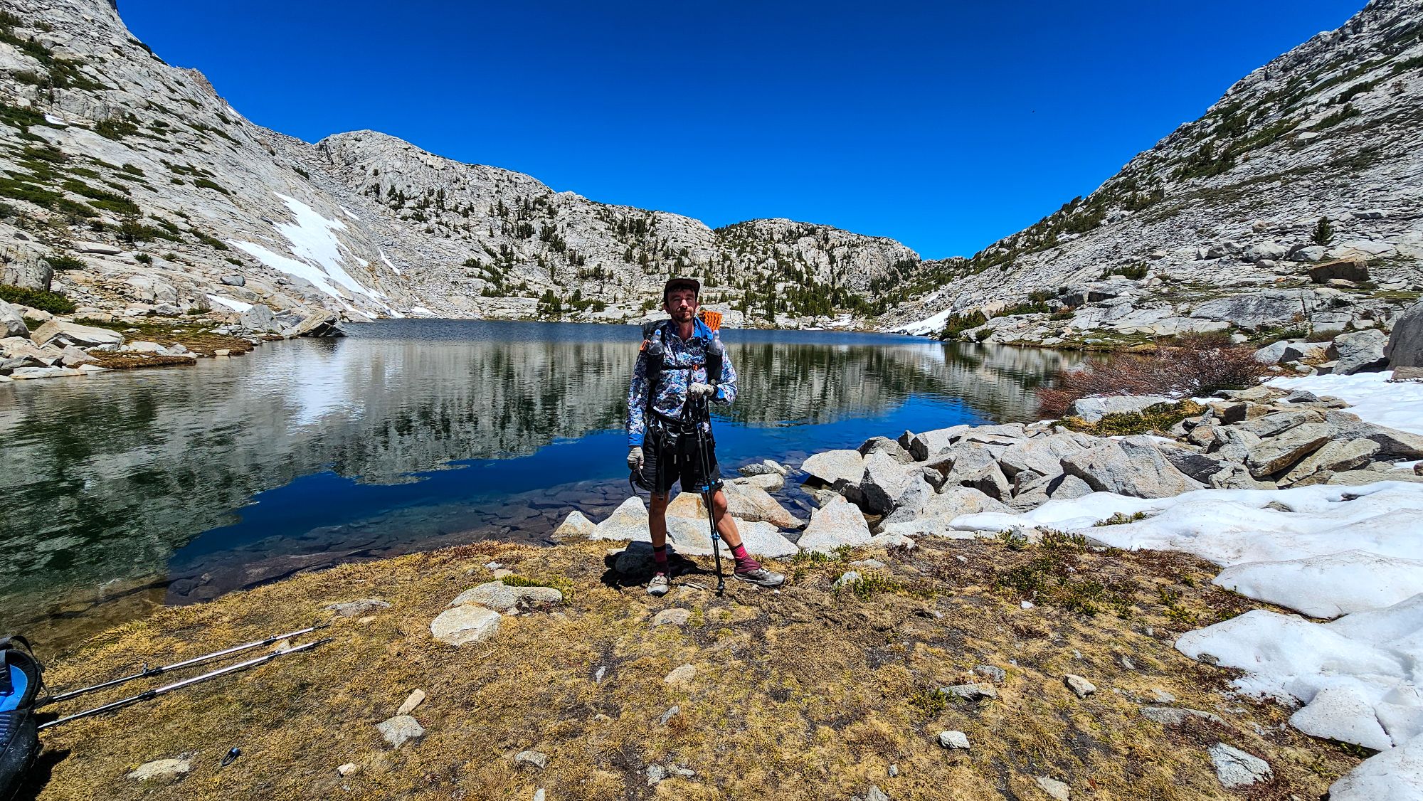
Water Crossings
In addition to snow, the Sierra presented a new obstacle in the form of water crossings. In the Desert section, we relied heavily on the very few and far between natural water sources. In the Sierra, water is everywhere. While access to such an abundance of water is great for staying hydrated, it also poses some risk, as we frequently have to cross raging creeks and rivers as we make our way north along the trail.


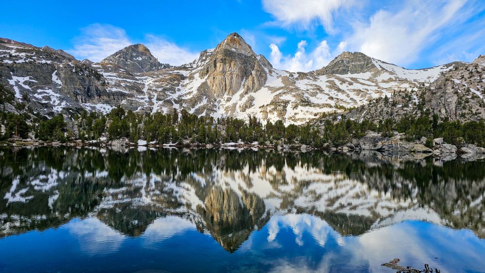
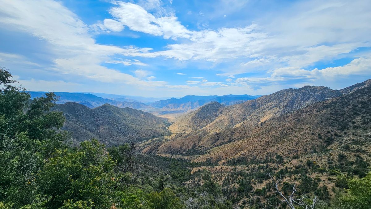
The Rest of the Sierra and Beyond
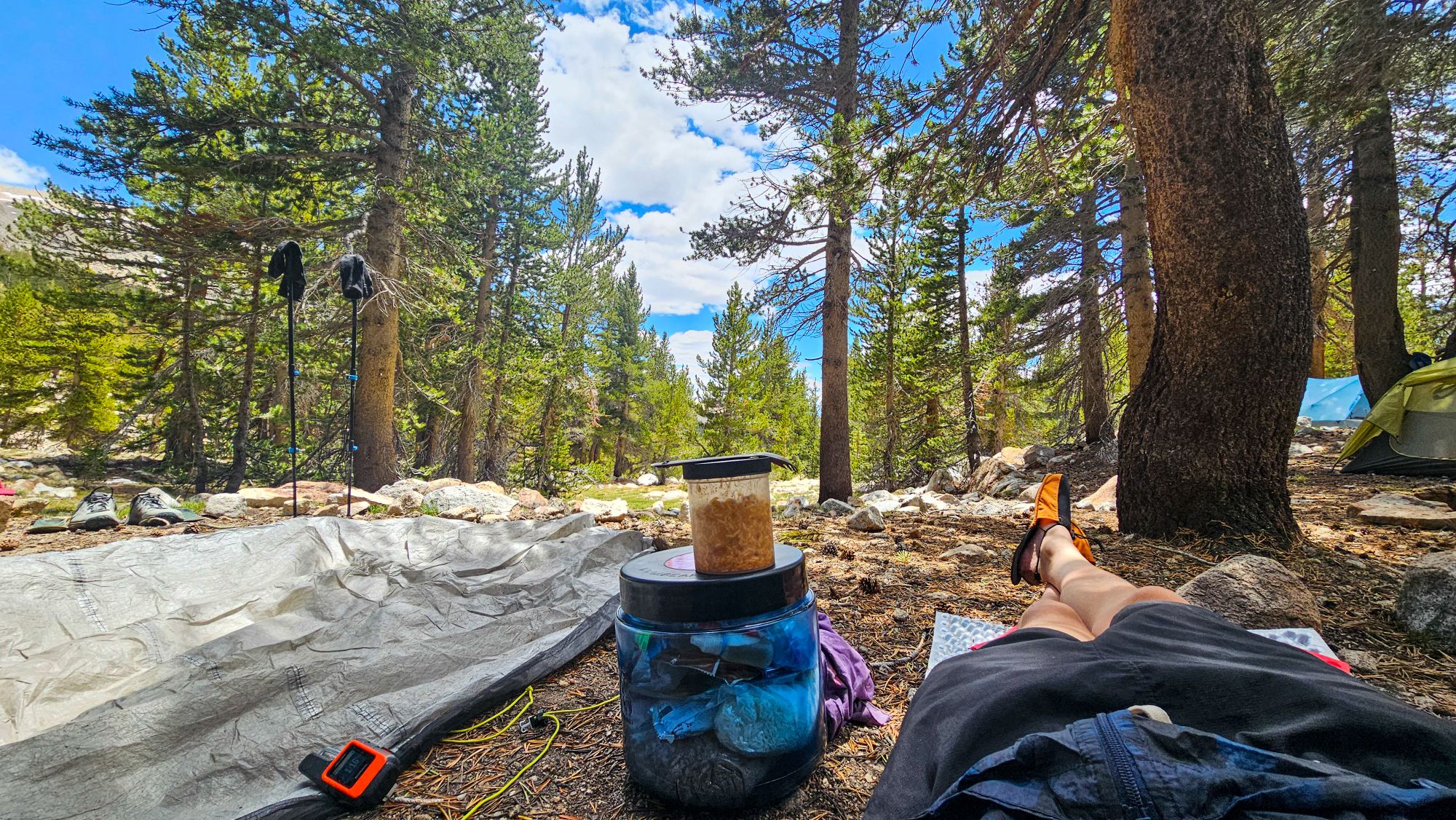
To be totally honest, it’s been a tough two weeks so far. My feet are wet every single day. I’ve woken up to frozen shoes on more than one occasion. I’ve fallen into a creek and bruised my hip. I’ve slipped on a wet rock and cut open my shin (an injury I’m still recovering from.) I’ve lost gear and I’ve lost friends. I’ve been hungry, cold, and exhausted. I’ve questioned my own judgement more times than I count. The list goes on. It’s been hard going, and sometimes, it’s been a little scary.
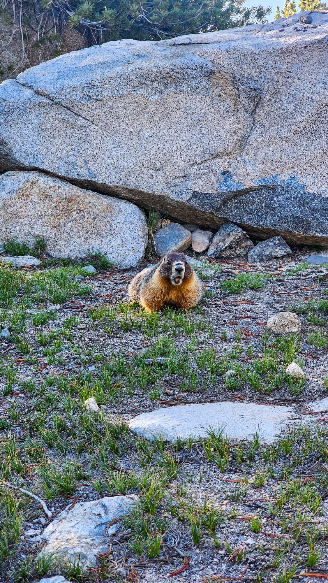
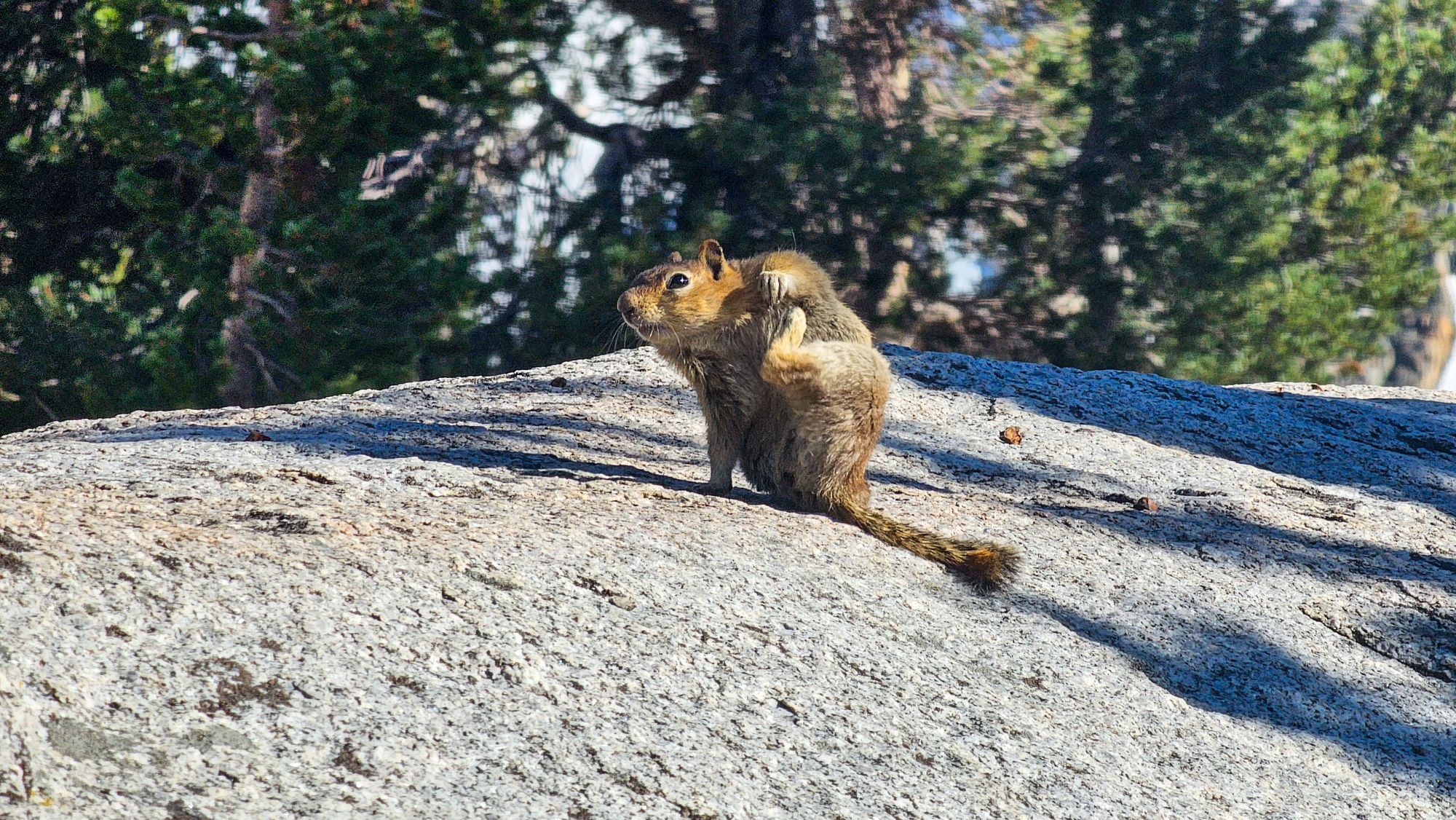
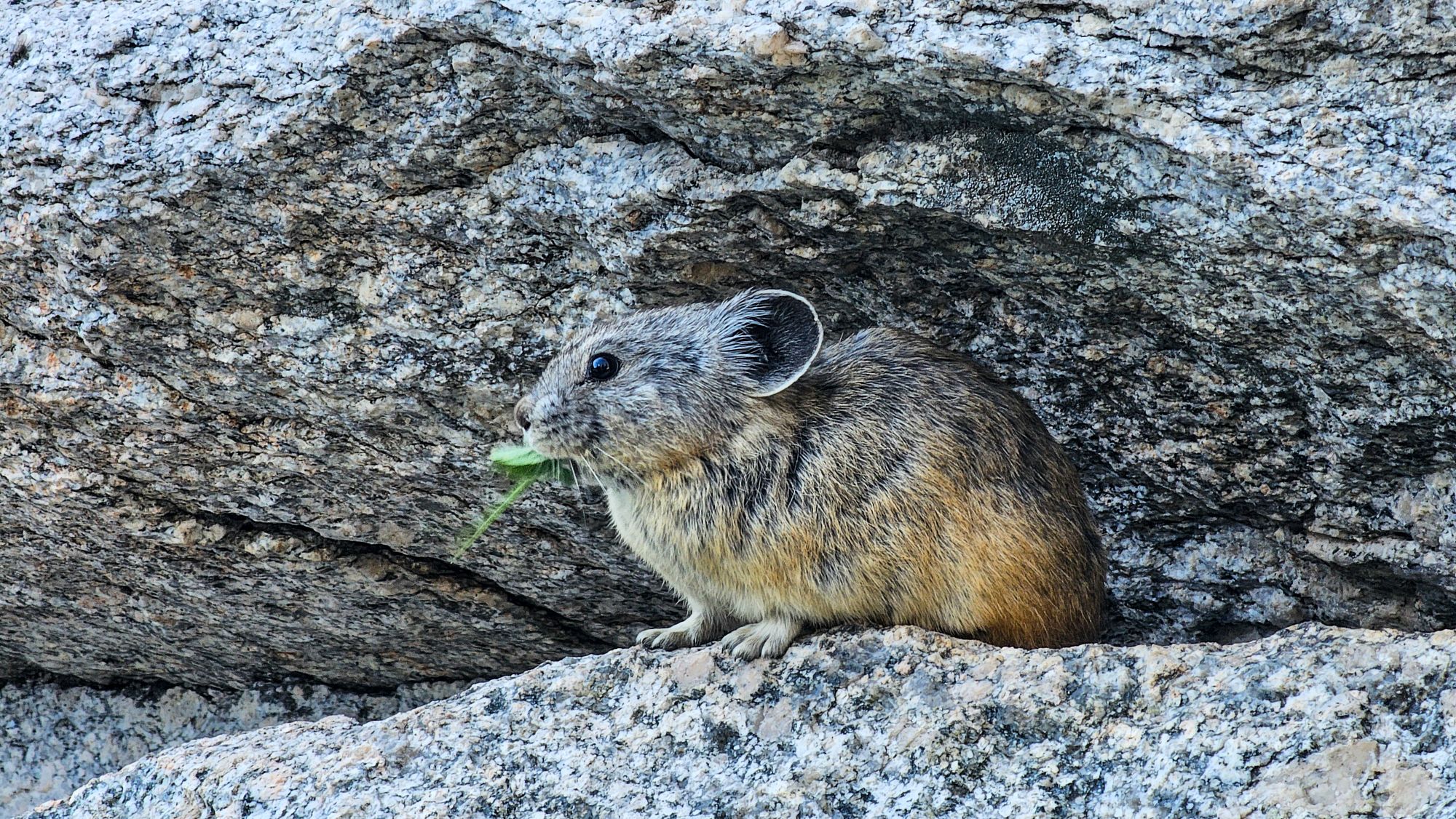
However, it’s also been unbelievably refreshing to be back in the Sierra. The sights, the sounds, the smells, and every waking moment here mean the world to me. I’ve seen so much amazing plant life and wildlife. The mountain views have been jaw-dropping, the lakes hypnotizing, and the night sky absolutely breathtaking. I wouldn’t trade my experience here for anything in the world. I wish the photos I take could share even 1% of the beauty I’ve seen with my own eyes.


Currently, I’m in Mammoth Lakes, CA. I’ve hiked about 904 miles of the 2,653 mile PCT. (1/3 done!) I have about 200 miles of the Sierra Nevada section left to hike, although I expect snow travel and water crossings to be very minimal from here forward as the trail gets lower and lower in elevation. (from 10k average to 7k to 8k averages). Over the next few weeks, I’m hoping to do as much forest soaking as I can. The Sierra is by far my favorite place in the continental United States and I plan to take full advantage of the rest of my time here.